Skip to content

Instantly share code, notes, and snippets.

@lxbarth
Last active August 29, 2015 14:18
Show Gist options
  • Star 0 You must be signed in to star a gist
  • Fork 0 You must be signed in to fork a gist
  • Save lxbarth/35d83338e588ba75be51 to your computer and use it in GitHub Desktop.
Save lxbarth/35d83338e588ba75be51 to your computer and use it in GitHub Desktop.

260 309 US roads added and aligned

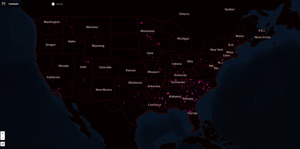
Since SEPTEMBER 2012 our team has aligned 260 309 roads in the United States. For this process we use fresh US government TIGER data (for a background read Eric Fischer's blog post) to show where OpenStreetMap data is out of date, then we trace from imagery as needed and use road names from TIGER.

Here's the map showing the extent of the issue. Pink lines are the progress over US. Full interactive map.
Sign up for free to join this conversation on GitHub. Already have an account? Sign in to comment