Since September 2012 our team has aligned 260,309 roads in the United States. For this process we use fresh US government TIGER data (for a background read Eric Fischer's blog post) to show where OpenStreetMap data is out of date, then we trace from imagery as needed and use road names from TIGER.
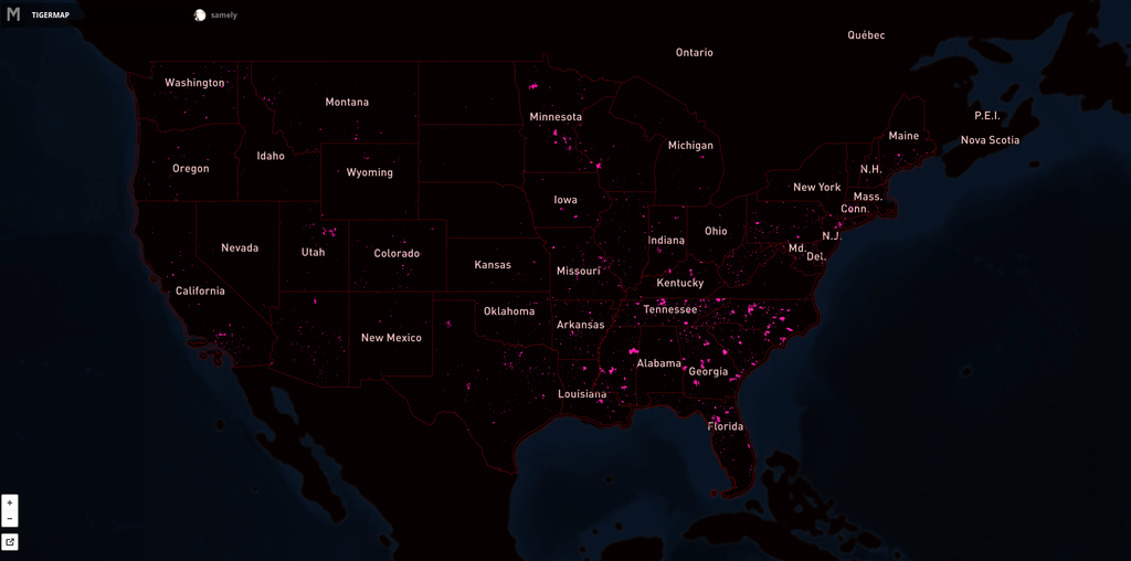
Here's the map showing the extent of the issue. Pink lines are the progress over US. Full interactive map.
We continue our work on TIGER with @MateoV's recent analysis that focuses on TIGER issues in areas with high Twitter traffic, missing roads, naming issues and road lengths over 30 meters. Upcoming work with tile-reduce will allow us to focus our work even more.
Updates in XYZ area
![]()
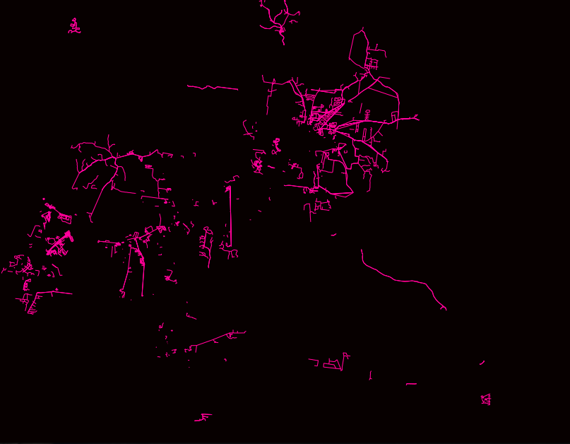
Updates in ABC area
![]()
Updates in ABC area
![]()
Updates in ABC area